AutoCAD Land Survey
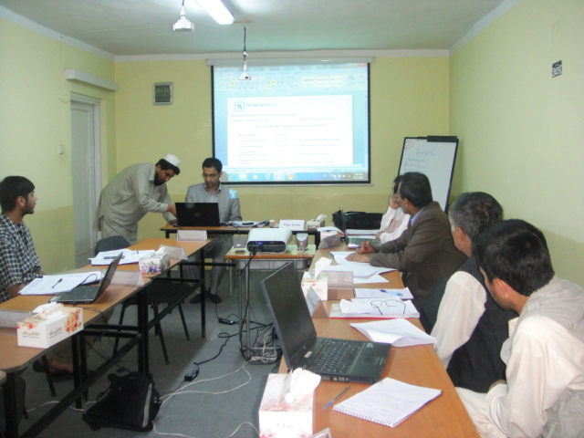
Champion Technical Training Center (CTTC) is now offering 6 days AutoCAD Land Survey Computerized Training for Road Engineers and Road Designers. AutoCAD Land Survey Software is a powerful civil engineering (Road Designing) tool incorporating a dynamic engineering model that allows elements to be automatically updated in response to changes in your design. Using AutoCAD Land Survey Software as a platform, you can take advantage of industry-standard development tools and technologies building applications specifically road geometric designing.
whencesoever
http://venturearchitecture.com/copy-of-roth-condos This course is designed to instruct the practical usage of AutoCAD land survey software regarding line structure construction projects, especially in creation and projection of site topographic maps and road surveying and designing issues. All menus and options which are necessary to use will be practically taught by working on a practical project in a useful method.