Construction Topographic Survey Advanced Training (Engineering Geodesy)
http://iccpaix.org/cjfuns.php This course is designed to teach the essence and complete theory of construction topographic survey including collecting of data from the proposed site by Total station and design of raw data, making site topographic map. Moreover this course covers the advance issues of technical mapping errors, essence of mapping, drawings and sketching techniques and the essence of maps scales and their usages regarding the type of topographic mapping and its usage.
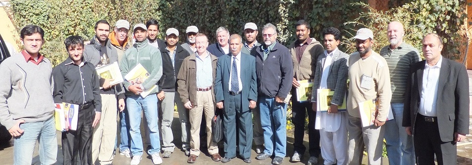
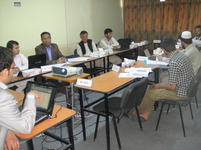
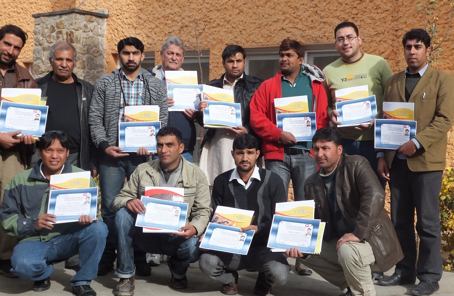
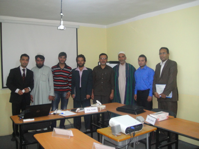
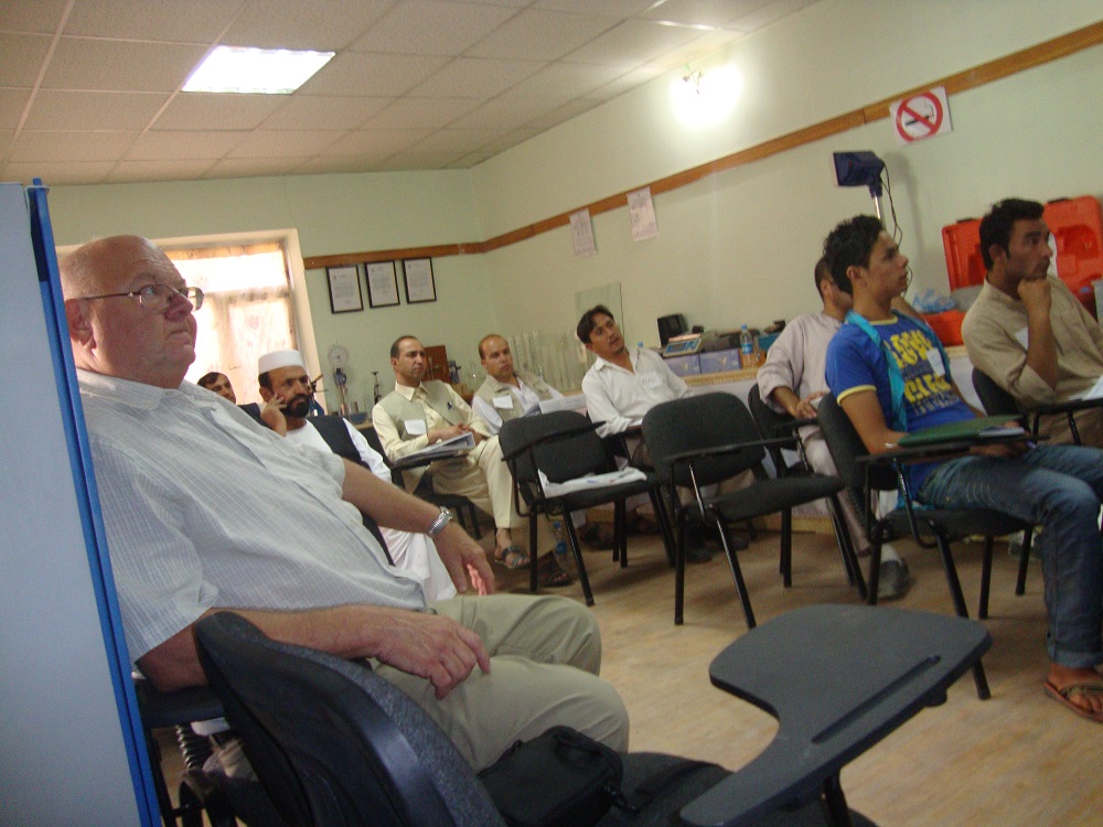
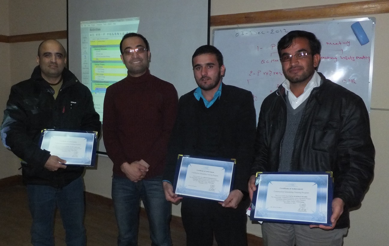
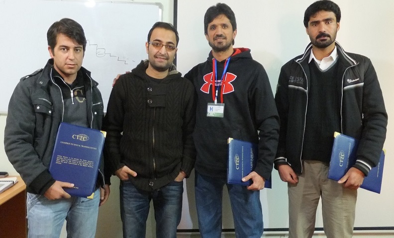
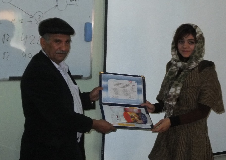
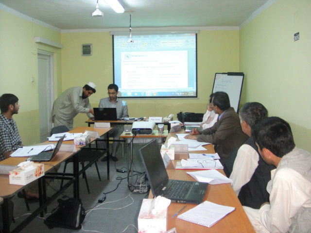
http://catherinecrouch.com/wp-2019.php Construction topographic mapping workshops are conducted in CTTC main campus in Kabul Afghanistan by certified and professional road engineers and experts.